Aircraft / Avionics Orders: 800.447.3408 Radio Control Orders: 877.219.4489
AeroNav
AERONAV VFRGC
VFR Terminal Area Chart, Grand Canyon
VFR Terminal Area Chart, Grand Canyon
$4.30
VFR Terminal Area Chart, Grand Canyon, from AeroNav
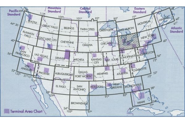
Grand Canyon VFR Aeronautical Chart covers the Grand Canyon National Park area and is designed to promote aviation safety and facilitate VFR navigation in this popular flight area. The chart contains aeronautical information for general aviation VFR pilots on the front side, and commercial VFR air tour operators on the back side. Special features on both sides include:
- Special Flight Rules Area (SFAR) which apply to all aircraft operations below 14,500 feet MSL
- Four Flight Free Zones where all aircraft operations are prohibited below 14,500 fett MSL
- Corridors between Flight Free Zones where operations below 14,500 feet MSL are permitted
- Special air-to-air communication frequencies and altimeter procedures
- Numerous VFR checkpoints for ease of location identification
The back side, for use ONLY by commercial air tour operators operating under specific authorization of the FAA, depicts color-coded, fixed-wing and rotary-wing routes and altitudes. This chart is updated by the FAA as required. (Scale 1 inche = 3.43nm/ 1:250,000; 45 x 20 inches folded to 5 x 10 inches)